Trail Map
DCR's official Breakheart Trail Map is a one-page PDF, last updated October 7, 2024, that covers Breakheart Reservation and Camp Nihan together. It shows the paved loops, the blazed trails, both lakes, six named hilltops with their heights, the two parking entrances and the swim area at Pearce Lake. This page explains what is on it, so you know where you are going before you open it on your phone.
The DCR Map at a Glance
Breakheart on a Live Map
A Google map you can pan and zoom. It is not DCR's trail map: download that PDF for blazes and trail names.
Download the Official Map
Get it from DCR: Breakheart Trail Map (PDF, 1.5 MB). DCR also links it from its self-guided opportunities page, alongside the suggested hikes guide and the Stories in Stone trail. Save the PDF before you leave home.
How the Map Is Laid Out
The reservation runs roughly north to south across the Saugus–Wakefield town line, with the town boundary drawn across the sheet. The two lakes sit in the middle. Pearce Lake, also called the Lower Pond, is labeled "swimming in designated area only." Silver Lake, the Upper Pond, east of it, is labeled "no swimming." The Saugus River curves along the north and east edges, and Peckham Pond, Crystal Pond, Hawkes Brook and the Mill River appear near the borders. North of Water Street, a separate piece of the reservation is labeled the North 40.
The Paved Loops
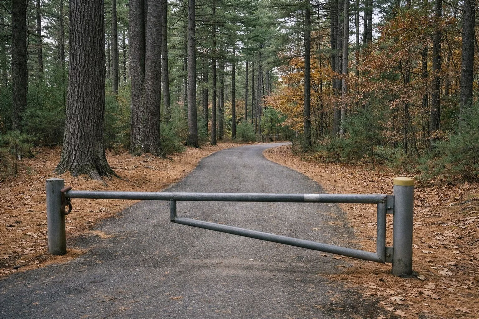
Three paved paths do most of the work: Pine Tops Road, Elm Street (Elm Road on some labels) and Hemlock Road. The legend marks the 2-mile Healthy Heart Trail with heart symbols along Pine Tops Road; DCR's hiking guide calls this loop the Inner Loop. The 3-mile Outer Loop uses all three paved roads. The gates you will see on them are there to keep cars out; the map notes that every other trail user is welcome to travel beyond them.
Named Trails
DCR's map labels these trails and forest roads:
- Lake trails: Pearce Lake Trail, Silver Lake Trail, Eagle Rock Trail, Flume Road.
- Ridges and hills: Ridge Trail, Ridge Link, Ash Path, Spruce Path, Fern Trail, Jeep Trail.
- Along the Saugus River: Saugus River Trail, Fox Run Trail, Link Saugus–Fox, Mill Site Trail, Lodge Trail, and Pennsylvania Avenue in the North 40.
- Other trails and forest roads: Nihan Road, Ranger Trail, Marsh Trail, Frog Pond Trail, Curley Fire Road.
DCR gives mileage and blaze colors only for its suggested routes, listed on the hiking page. For the rest, use the map's scale bar and the 10-foot contour lines.
Hilltops and Elevations
The map marks six named summits with their heights: Castle Rock (287 feet), Crow Hill (273), Rocky Hill (245), Breakheart Hill (234), Ash Hill (233) and Eagle Rock (206). Scenic-vista symbols sit on several of them. Eagle Rock is the short climb most people make, above Pearce Lake; see Eagle Rock Trail.
Landmarks to Look For
- Christopher Dunne Visitor Center and the Main Entrance off Forest Street, Saugus.
- Hemlock Road Entrance by Northeast Metro Tech High School, Wakefield.
- Beach on Pearce Lake, with lifeguard and first-aid symbols and a playground.
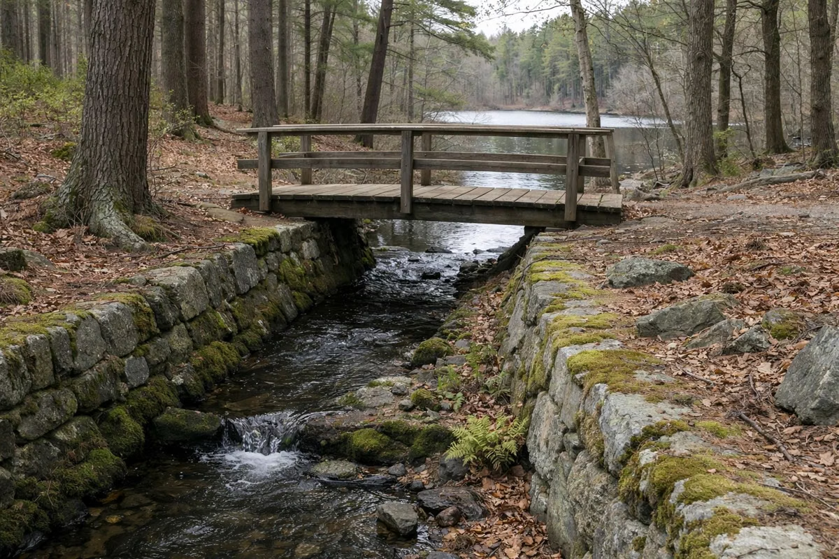
- The Flume, the CCC-built channel between the two lakes.
- Bark Place Dog Park, the fenced off-leash area (DCR's park page calls it the Barking Lot).
- Pine Tops Picnic Area and Chimney Site Picnic Area, plus an amphitheater and exercise stations near the visitor center.
- Rhododendron Grove and Montowampate Overlook.
- Old Mill Site on the Saugus River and a wildlife blind.
- Parcher Field and Kasabuski Rink near Forest Street.
- Camp Nihan Education Center, with Clarke Cabin, Peckham Cabin, Emerson Cabin and Sprague Lodge.
The map also marks a gas pipeline corridor with "no trail access," powerlines, and a private golf course on the boundary. Stay off land outside the DCR property shading.
The Legend
The legend symbols cover the visitor center, year-round and seasonal restrooms, parking and gates, picnic areas and pavilions, park buildings and cabins, campsites and showers, the lifeguard first-aid station and playground, hilltops and scenic vistas, paved roads, forest roads, trails and paved paths, the Healthy Heart Trail, 10-foot contours, streams, ponds, wetlands, the town boundary and DCR property.
Trail Rules Printed on the Map
- The reservation is open from dawn to dusk.
- Stay on designated trails and roads.
- Observe all posted rules and regulations.
- No motorized uses.
- Leave no trace: pack out litter and respect wildlife.
More on the rules page. Pick your lot on the parking page before you go.
Trail Map FAQ
Where can I get a Breakheart Reservation trail map?
DCR publishes the official Breakheart Trail Map as a free 1.5 MB PDF on mass.gov (last updated October 7, 2024). It covers Breakheart Reservation and Camp Nihan Education Center on one sheet. Download it before you go; cell service and paper copies are not guaranteed at the trailhead.
Is there a trail map at Breakheart visitor center?
The Christopher P. Dunne Visitor Center at the Saugus entrance is the place to ask, but DCR does not promise printed maps. The reliable copy is the PDF on mass.gov, saved to your phone.
What do the colors mean on Breakheart trails?
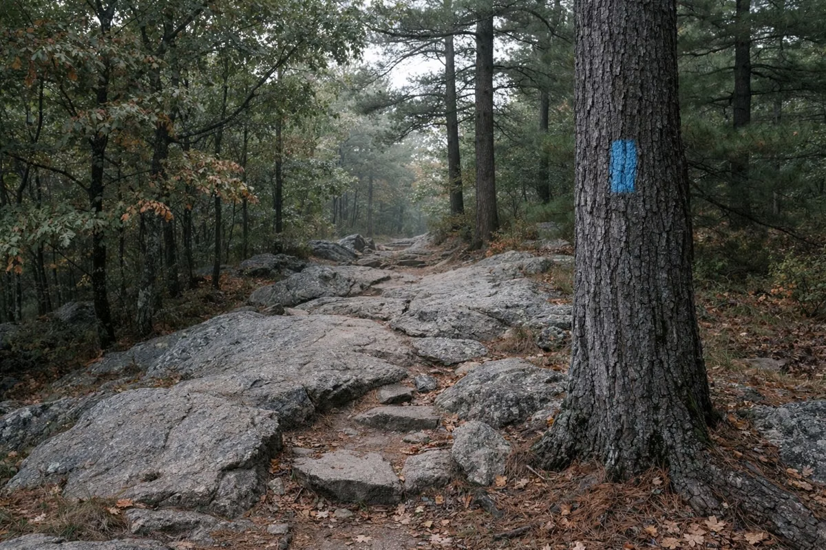
DCR's hiking guide lists the blazes: Silver Lake and Pearce Lake trails are blue, Eagle Rock is red, Fox Run is green, the Saugus River Trail is yellow, and the paved Healthy Heart loop is marked with green hearts. A double blaze usually means a turn or an intersection.
Can you swim anywhere on the map?
Only in the designated swimming area at Pearce Lake. DCR's map labels Silver Lake "no swimming."
Facts checked against the DCR page for Breakheart Reservation on October 18, 2026.