Trails & Hiking
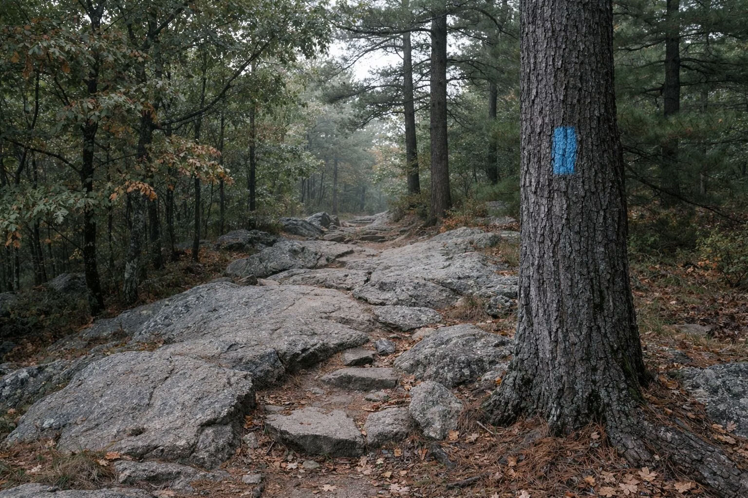
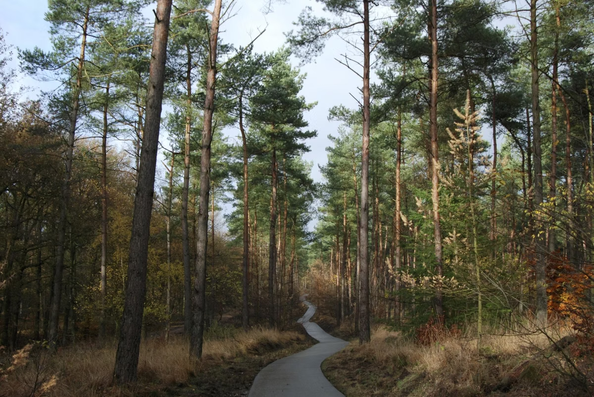
Breakheart Reservation has two kinds of walking: smooth paved loops through tall white pines, and rocky blazed trails over small hills and around two lakes. DCR picks out six suggested routes, from the easy 1.6-mile Silver Lake Trail to the climb up Eagle Rock for a view of Boston. Most start at the visitor center by the free lot at 177 Forest Street in Saugus.
DCR's Suggested Hikes
Sort Breakheart's Routes by Distance and Effort
Pick a filter to narrow DCR's seven named routes, from the 10-minute climb up Eagle Rock to the 3-hour Stories in Stone walk.
Showing all 7 marked trails.
| Trail | Miles | Time | Difficulty | Shape | Bikes |
|---|---|---|---|---|---|
| Silver Lake Trail (Upper Pond Trail) | 1.6 | ~1 hr 5 min | Easy | Loop | – |
| Inner Loop Trail (Healthy Heart Trail) | 2 | ~1 hr 20 min | Easy | Loop | Yes |
| Pearce Lake Trail (Lower Pond Trail) | 2.4 | ~1 hr 35 min | Easy | Loop | – |
| Eagle Rock Trail | 0.25 | ~10 min | Moderate | – | – |
| Fox Run – Saugus River Trail Loop | 2 | ~1 hr 20 min | Moderate | Loop | – |
| Outer Loop Trail | 3 | ~2 hr | Moderate | Loop | Yes |
| Stories in Stone | 3.4 | ~3 hr | – | Loop | No |
Miles, ratings and blazes: DCR's Suggested Hikes guide and its Stories in Stone brochure. Walking times use DCR's own average pace of 1.5 mph, except Stories in Stone, where DCR gives about 180 minutes. A dash means the source doesn't say; those trails drop out when you filter on that column.
Introductory Hikes
DCR calls these short and suitable for most visitors, including families with children.
Silver Lake Trail (Upper Pond Trail): 1.6 miles, easy
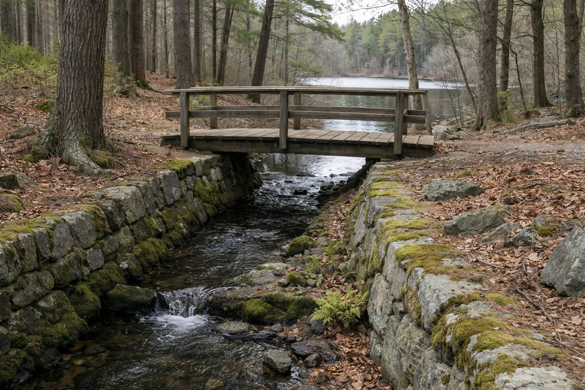
This blue-blazed loop follows the shoreline of Silver Lake, passing a quiet picnic area and the Flume, the stone channel the Civilian Conservation Corps built in the 1930s to carry overflow from Silver Lake down to Pearce Lake. From the visitor center, take the paved path to the left; after 0.2 miles stay right at Hemlock Road, and in another 0.2 miles the trail starts on your left. The loop around the lake itself is 0.8 miles. Silver Lake is a no-swimming lake, so this is a walk, not a beach trip.
Inner Loop Trail (Healthy Heart Trail): 2 miles, easy
This popular loop follows Pine Tops Road, a paved path through pine and mixed hardwood forest, marked with green hearts. It passes picnic areas, the off-leash dog park, the beach at Pearce Lake and the shore of Silver Lake. DCR rates it suitable for strollers and mobility aids. Bikes share it, and DCR asks riders to go carefully and yield to walkers.
Outer Loop Trail: 3 miles, moderate
The Outer Loop is a longer, hillier paved circuit on Pine Tops Road, Elm Street and Hemlock Road. Along the way are large glacial boulders, more white pine and the view from the beach. Start it at the visitor center or at the Wakefield entrance. DCR's tip: going clockwise, stay left at every paved intersection; counter-clockwise, stay right.
Signature Hikes
DCR's signature routes may be longer or harder but show the park's best features.
Pearce Lake Trail (Lower Pond Trail): 2.4 miles, easy
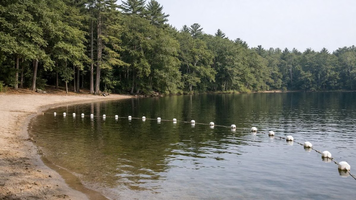
A blue-blazed loop around Pearce Lake, past the beach and rocky outcrops with views across the water. Start at the Wakefield entrance: take the paved path left for 0.5 miles to the beach, then follow the shore into the woods to find the blazes. The lake circuit is 1.4 miles. Full details on the Pearce Lake page.
Eagle Rock Trail: a 0.25-mile climb
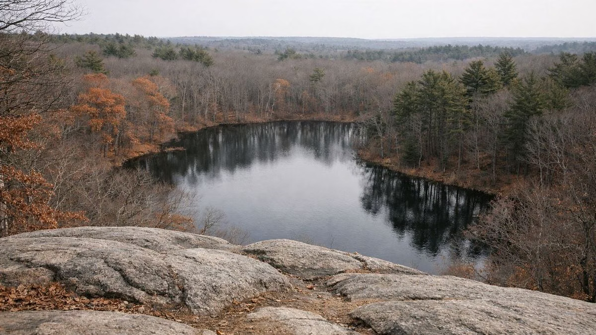
A red-blazed spur leaves the Pearce Lake Trail and climbs Eagle Rock, which overlooks the lake and the park. DCR notes a view of the Boston skyline 7 miles to the south. See Eagle Rock Trail.
Fox Run – Saugus River Trail Loop: 2 miles, moderate
Start on the green-blazed Fox Run Trail to the right of the visitor center. It climbs a series of gentle hills past rock formations and mixed hardwoods to the beach at Pearce Lake. Turn right on Pine Tops Road, and after 0.1 miles pick up the yellow-blazed Saugus River Trail, which follows the river and its wetland back along the park's northern edge to the Saugus entrance. DCR suggests a side trip up Breakheart Hill for views toward the Atlantic and over Saugus.
Stories in Stone: 3.4 Miles of History
DCR's self-guided interpretive trail starts and ends at the visitor center and links five stops: Pawtucket stone tools, a farm's stone walls and barn foundation, an 1814 milldam, the site of a hunting lodge, and the Flume. It alternates between easy and moderate hiking, is 3.4 miles round trip, and takes about 180 minutes at a moderate pace, according to DCR. It is for foot traffic only. The story behind each stop is on the history page.
Hills and Views
DCR's trail map marks six named hilltops. The highest is Castle Rock at 287 feet, followed by Crow Hill (273 feet), Rocky Hill (245), Breakheart Hill (234), Ash Hill (233) and Eagle Rock (206). They are modest heights, but DCR's park page notes vistas toward Boston, New Hampshire and central Massachusetts from the climbs. The Montowampate Overlook sits beside Crow Hill.
Before You Hike
DCR's hiking notes, condensed:
- Allow about 1.5 miles an hour; start early and watch for sunset.
- Wear sturdy shoes and layers; drinking water may not be available, so bring your own.
- Stay on blazed trails. A double blaze usually marks a turn or an intersection, and some trails may be poorly marked or missing from the map.
- Keep groups to 12 or fewer and pack out all trash.
- Keep dogs on a leash no longer than 10 feet. See dogs.
- Riders 16 and under must wear a bike helmet by law. See biking.
Download DCR's map or read our trail map guide first, and check which entrance suits your route.
Trails & Hiking FAQ
How long are the trails at Breakheart Reservation?
DCR's suggested routes run from 1.6 miles (the Silver Lake Trail) to 3 miles (the paved Outer Loop), and the Stories in Stone history walk is 3.4 miles round trip. DCR does not publish a single total mileage for the whole trail system; it describes it as a large network.
What is the easiest hike at Breakheart?
The Inner Loop, DCR's 2-mile Healthy Heart Trail on paved Pine Tops Road, is the easiest. It is flat enough for strollers and mobility aids. The 1.6-mile Silver Lake Trail is also rated easy.
Where is the best view at Breakheart?
Eagle Rock, a short red-blazed climb off the Pearce Lake Trail, looks over Pearce Lake to the Boston skyline about 7 miles south, according to DCR. Breakheart Hill, on the Fox Run loop, looks toward the Atlantic and Saugus.
Are the trails at Breakheart rocky?
Some are. The paved loops are smooth, but DCR describes its guided hikes as covering sometimes uneven and rocky terrain, and the Fox Run Trail passes rock formations. Wear sturdy shoes off the pavement.
Facts checked against the DCR page for Breakheart Reservation on October 18, 2026.