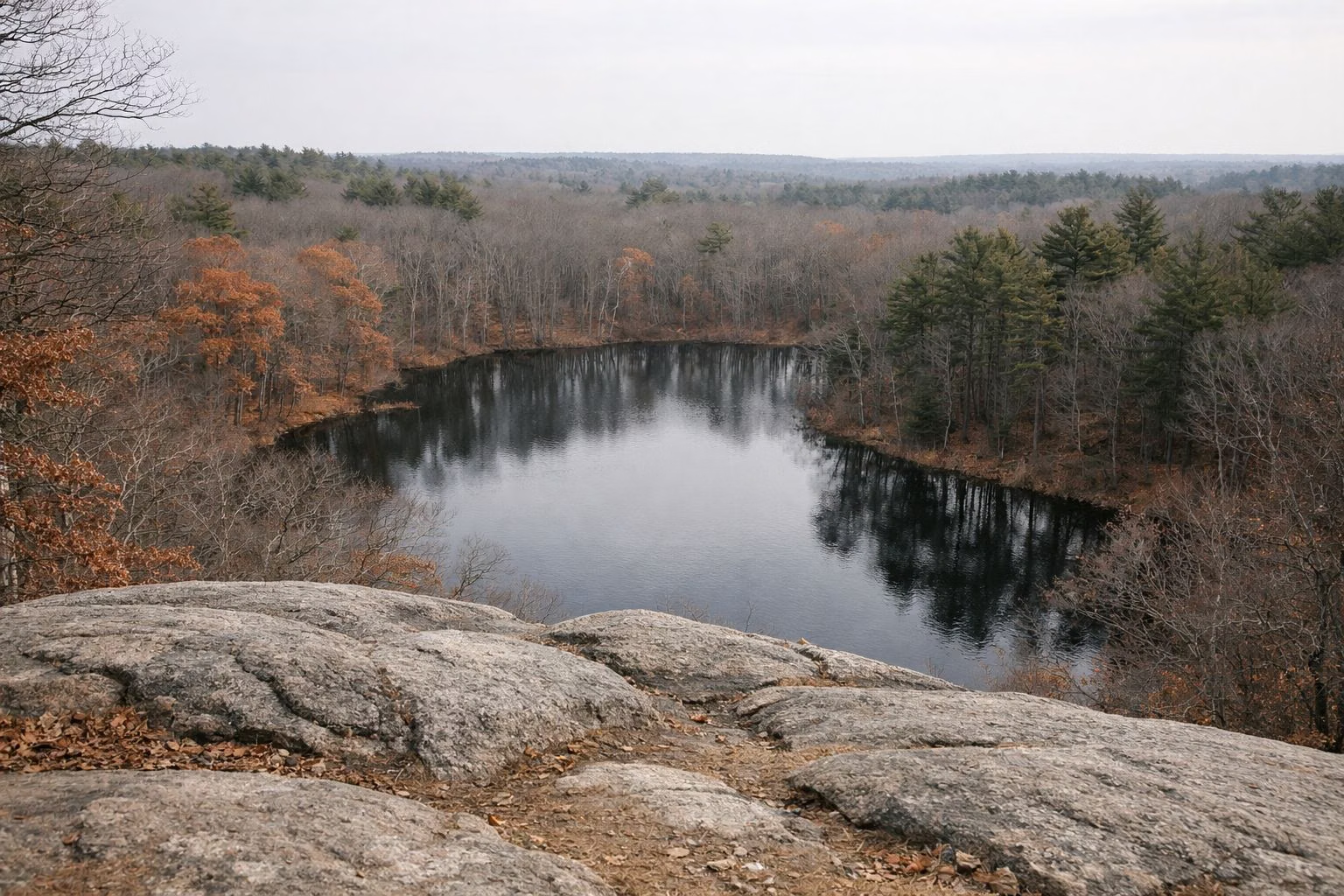
Eagle Rock Trail
Eagle Rock is the shortest climb at Breakheart Reservation with the best payoff: a 0.25-mile, red-blazed spur off the Pearce Lake Trail that DCR rates moderate. From the top, at 206 feet on DCR's map, you look over Pearce Lake and the surrounding forest to the Boston skyline about 7 miles to the south. DCR calls it a signature hike and says it gives some of the best views in the park.
Eagle Rock at a Glance
The Route
DCR's hiking guide starts the Eagle Rock Trail on the Pearce Lake Trail, the blue-blazed loop around Pearce Lake. The red-blazed Eagle Rock Trail branches off it and climbs to the overlook. DCR lists the distance as 1.3 miles of Pearce Lake Trail plus 0.25 miles for Eagle Rock itself. Two easy ways to put it together:
- From the Wakefield entrance (100 Hemlock Road): take the paved path to the left for about half a mile to the beach, follow the shoreline into the woods to the blue blazes, and watch for the red-blazed turn up Eagle Rock. Return the way you came or finish the lake loop. DCR's full Pearce Lake Trail from this entrance is 2.4 miles.
- From the Saugus entrance (177 Forest Street): walk the paved Pine Tops Road toward the beach, then join the Pearce Lake Trail. DCR's guide gives the Eagle Rock trailhead point, next to the visitor center, as 42.483347, -71.027982 on the Pearce Lake Trail.
On DCR's map, the Jeep Trail and Fern Trail also run close to Eagle Rock. Bring the map so you can tell them apart; DCR warns that its routes share segments with other blazed trails.
What the Climb Is Like
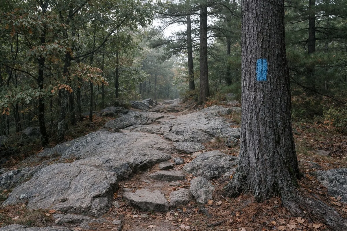
It is short but rocky. DCR rates the spur moderate, the same level as the hillier Outer Loop, and describes Breakheart's off-pavement terrain in its guided-hike listings as sometimes uneven and rocky. Wear shoes with grip, especially after rain. There is no paved approach, so this is not a stroller or wheelchair route; the paved loops are the accessible choice.
The View
DCR's description is specific: Eagle Rock overlooks the lake and the surrounding park and gives a nice view of the Boston skyline 7 miles to the south. The lake below is Pearce Lake, the Lower Pond, with the swimming beach on its shore.
Good For
- A short hike with a real view, under an hour from the beach at an easy pace.
- Adding a summit to a Pearce Lake loop or a swim day.
- Older kids who want a scramble; DCR's guided hikes are pitched at ages 8 and up on similar terrain.
Maybe Skip If
- You need a smooth surface: take the paved Inner Loop instead, rated suitable for strollers and mobility aids.
- You want a longer workout: combine Eagle Rock with the 2-mile Fox Run – Saugus River loop and a side trip up Breakheart Hill, which DCR says looks toward the Atlantic.
- It is icy: rock slabs and leaves make short steep pitches slick. See winter at Breakheart.
Other High Points in the Park
DCR's map marks five more named hills: Castle Rock (287 feet), Crow Hill (273), Rocky Hill (245), Breakheart Hill (234) and Ash Hill (233). The Montowampate Overlook is marked by Crow Hill. Eagle Rock is the lowest of the six, but it is the one that sits right above the water.
Before You Go
Parking is free at both entrances (directions), the park closes at sunset (hours), and dogs must be on a leash no longer than 10 feet (dogs). For a swim after the climb, check the Pearce Lake season.

Eagle Rock Trail FAQ
How long is the Eagle Rock Trail at Breakheart?
The Eagle Rock Trail itself is a 0.25-mile spur, rated moderate by DCR. You reach it on the Pearce Lake Trail; DCR lists the combined route as 1.3 miles of Pearce Lake Trail plus 0.25 miles up Eagle Rock.
Can you see Boston from Breakheart?
Yes. DCR says Eagle Rock gives a view of the Boston skyline about 7 miles to the south, along with Pearce Lake and the rest of the park. DCR's park page also mentions vistas toward New Hampshire and central Massachusetts from the park's climbs.
How high is Eagle Rock?
DCR's trail map marks Eagle Rock at 206 feet. It is a short, rocky climb rather than a mountain; the park's highest marked hilltop is Castle Rock at 287 feet.
What color is the Eagle Rock blaze?
Red. DCR describes it as a red-blazed side trip off the blue-blazed Pearce Lake Trail.
Facts checked against the DCR page for Breakheart Reservation on October 18, 2026.